Gordon Penfold was Division Commander for the Department of Public Safety in Sunnyvale until 1965, and after that Chief for the Department of Public Safety in Foster City. Subsequently he started Penfold Security, later contracting with Los Altos Hills for about seven years as "Chief of Public Safety" for the Town. Besides performing code enforcement functions, he was the Town's liaison, working with the Santa Clara Sheriff's Department to fulfill the Law Enforcement requirements of the town, and the Los Altos Hills County Fire District on matters of Fire Protection and Suppression.This was some time during the mid-to-late 1970's.
Gordon Penfold passed away in 2002. Subsequently in 2016, Leslie (Penfold) Lambert, his daughter (who also worked for the Town for over ten years) discovered some old photographic slides he had taken during this period and which he had set aside from his other photos for some reason. She kindly lent them to be scanned digitaly so they could be preserved and displayed on the web - as shown below.
Some details and the context surrounding each picture have been supplied as captions where possible - but some of this is based on educated guesswork and recollections of old-timers, so this information is only as reliable as we could make it.
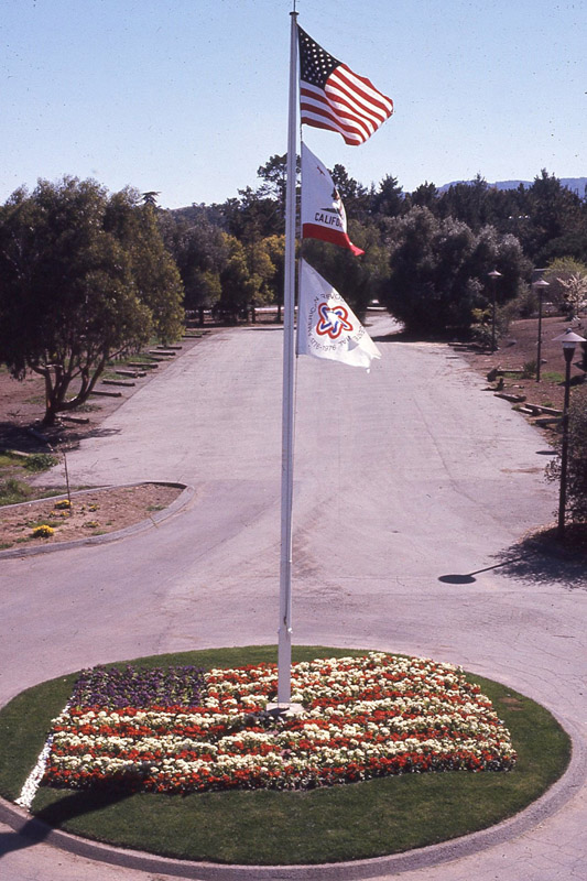
745 Flag Pole outside old Town Hall (roughly where the new flagpole is located at the new Town Hall)
The third flag on the pole is the Bi-centennial Flag, indicating this picture was taken around 1976. Also note the design incorporated in the flowers around the base of the pole.
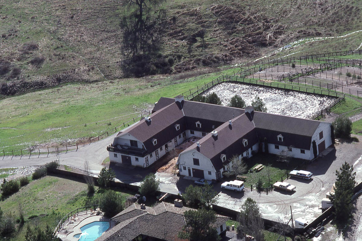
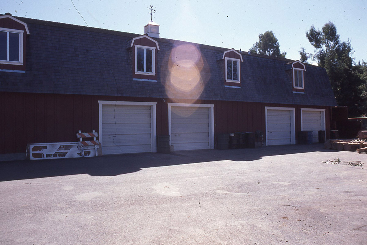
751 Westwind Barn before the "small barn" and stalls for the Handicapped Riding Program were built
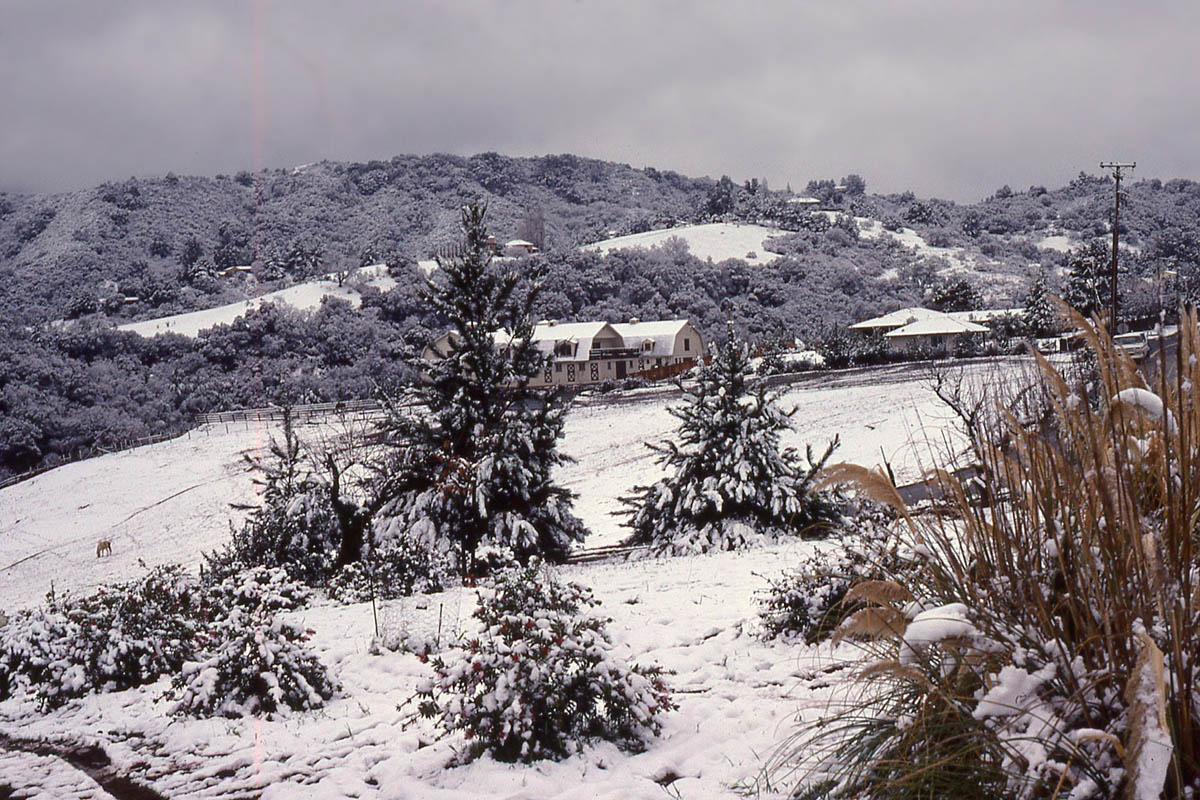
771 Westwind Barn in the snow - seen across Byrne Preserve. In 1976, what the meteorologists call "a 100 year event" occurred with a thin blanket of snow covering the upper elevations of the town. Gordon Penfold took a spectacular picture on that morning (the snow was pretty much gone by noon) of Westwind Barn in the snow which was published in the newspapers - but that particular image was not included with these slides. However, a few other shots taken at the same time were found in that set and are reproduced here. This one shows the Barn in the distance.
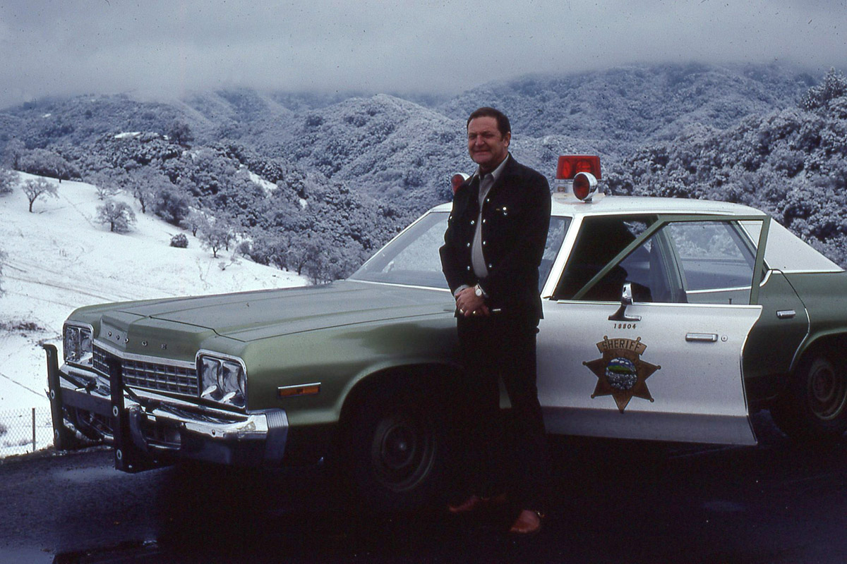
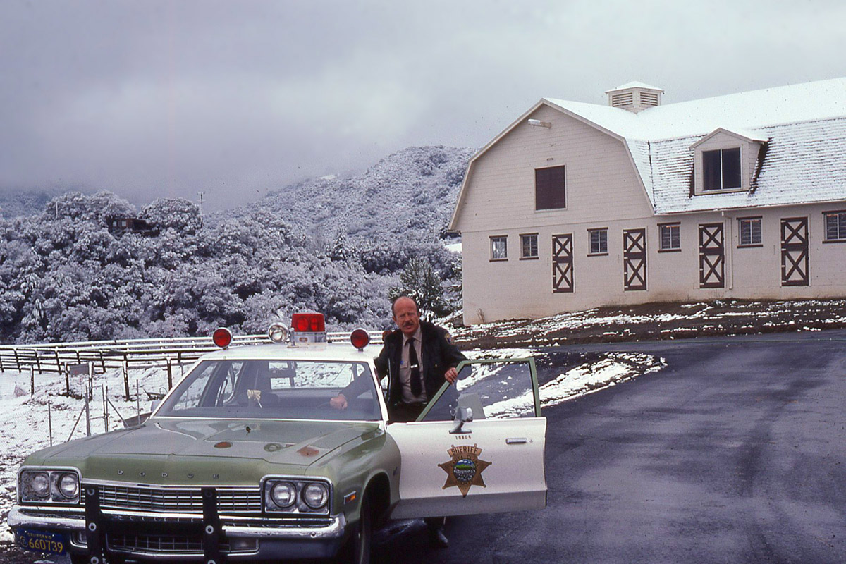
762 This picture shows Gordon Penfold (the owner of the original slides from which these images are derived) standing in the driveway into Westwind Barn. This driveway was formerly named "Old Crow Rd" as a joking reference to Bob Crowe (the Town Manager) - accounts differ as to who the perpetrators were. This short stretch of roadway is now officially named "Margit Way" after The Countess Margit Bessenyey who donated the barn to the Town of Los Altos Hills.
The view is toward the hills that face Westwind Barn with Byrne Preserve on the left.
763 Deputy Sheriff Jerry Conley of the Santa Clara County Sheriff’s Department in front of Westwind Barn in the snow.
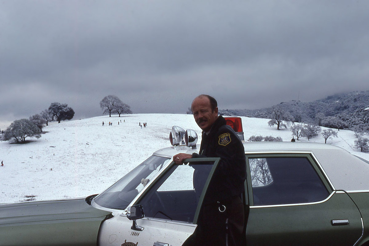
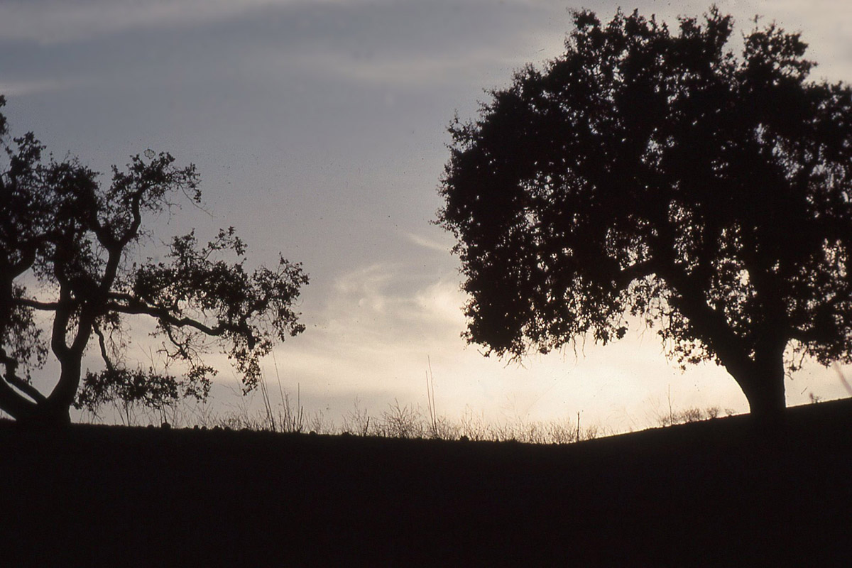
764 Deputy Sheriff Jerry Conley again with behind him Byrne Preserve with the iconic two oak trees near the summit.
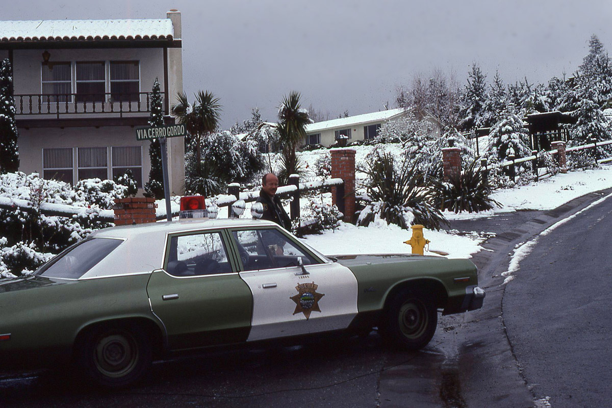
765 Obviously taken on the same day as "The snow in Los Altos Hills" - Via Cerro Gordo leads off Via Ventana, a little over half way up Page Mill Road leading to Altamont Road where Westwind Barn is located.
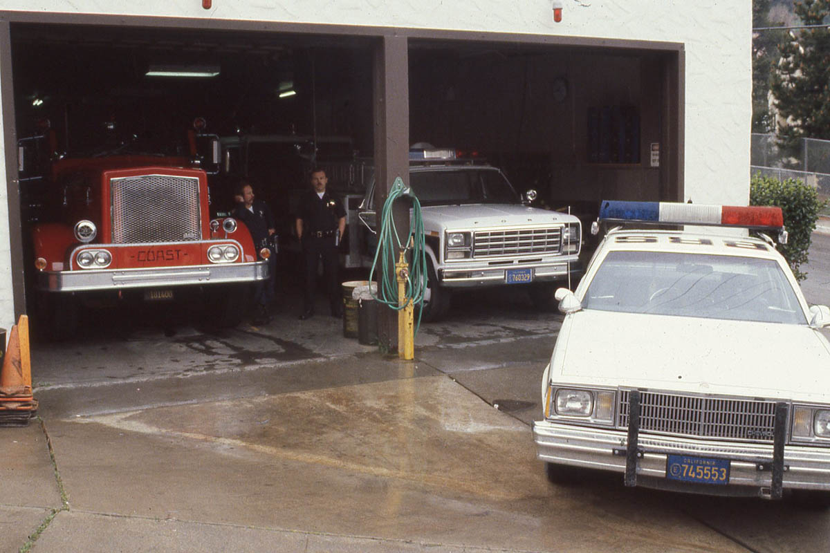
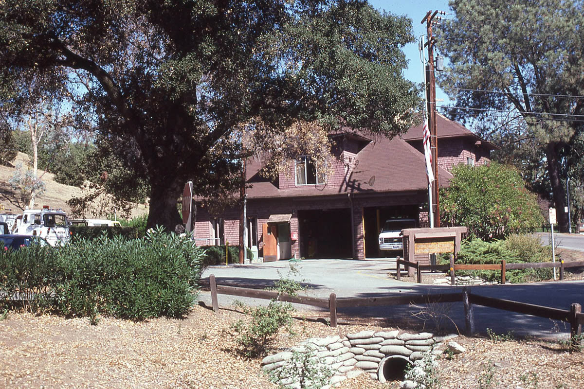
744 At which Fire Station this picture was taken is unknown. Because other pictures in this set show the old El Monte Station (at Foothill College) and the Sequoia Station (San Antonio Rd and Almond) it was thought this picture might "complete the set" and represent the Loyola Station. However, the Fire Engine on the left was manufactured by "Coast" - the closest Fire Department using this particular make of apparatus was Sunnyvale - so we can only guess where this Station was located.
(Confirmation has subsequently been received that the Coast Fire Engine is indeed from Sunnyvale, probably the station off Mary Avenue, Squad 46 - Public Safety. This was before Sunnyvale changed the color of its Fire Engines to yellow)
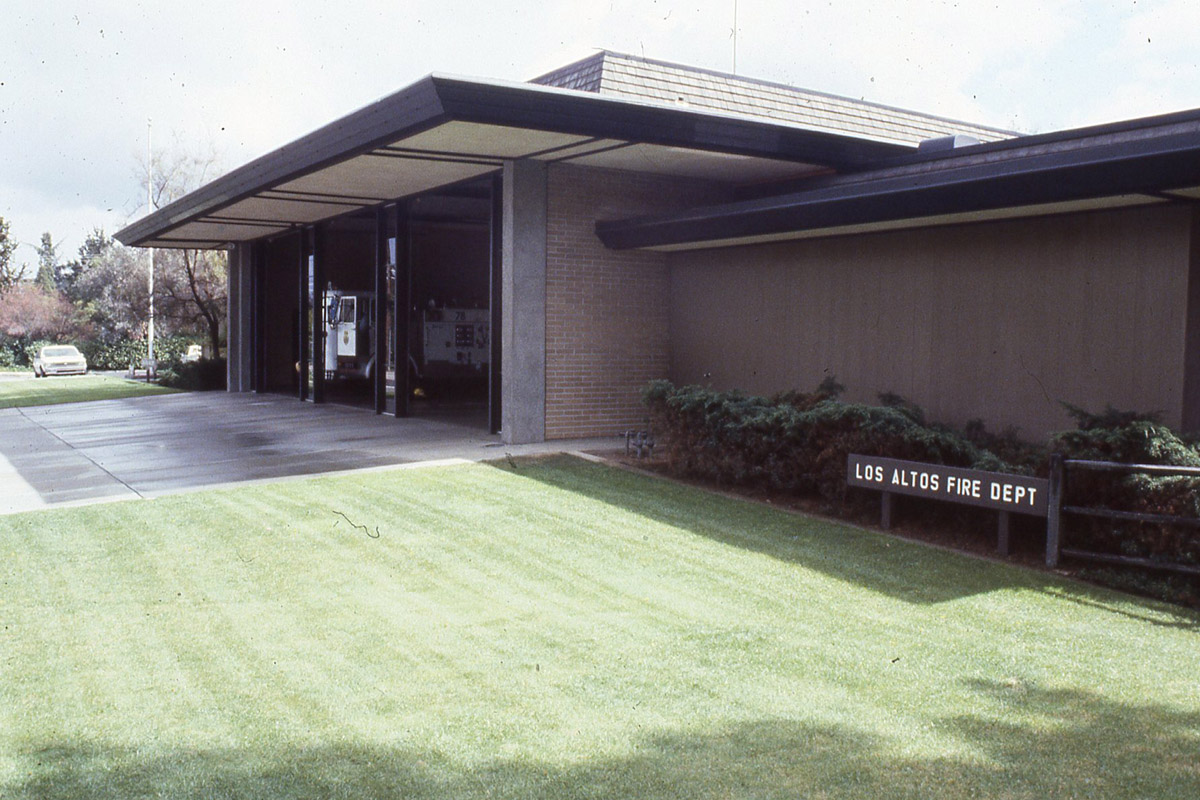
746 Officially known as "Sequoia Fire Station", this is located on the corner of San Antonio Road and Almond Avenue in Los Altos.
747 The old "El Monte Fire Station" at Foothill College. The new "El Monte Fire Station" replaced it - and was built not far away, also on the Foothill Campus.
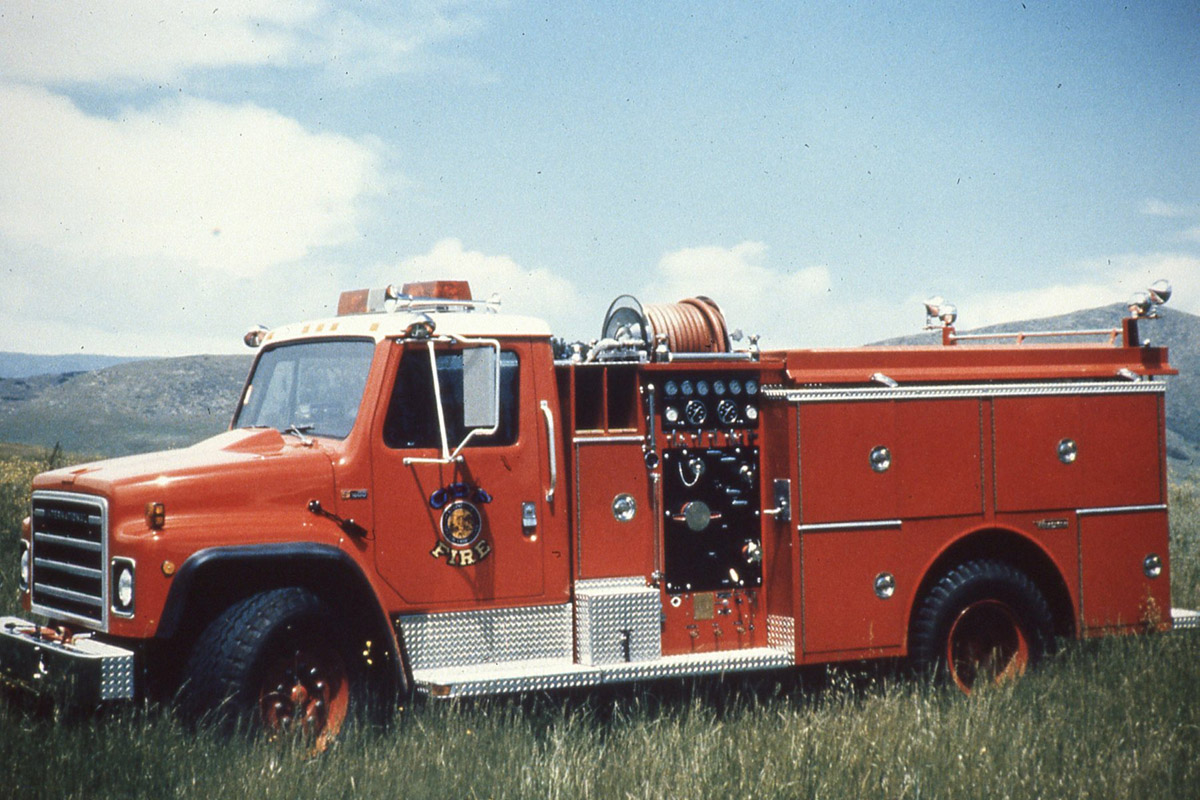
750 The details or context of this picture are unknown. The lettering over the circular logo on the door could well be "CDF", which, combined with the word "Fire" underneath the logo, might well indicate that this engine is with "Cal Fire" more correctly known as "California Department of Forestry and Fire Protection". This organization provides fire protection in large areas around the State, including for example in the Coastal Range between Los Altos Hills and the Pacific Ocean.
If that is the case, this engine would likely be configured for fighting wild fires (carrying its own water and equipped to suppress fire while moving) as opposed to fire suppression in a suburban setting.
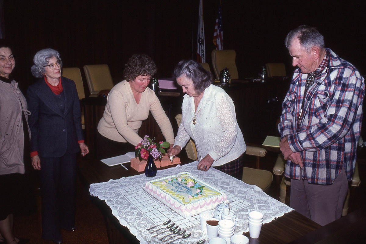
752 The writing on the cake tells us that this picture was taken on the 23rd anniversary of the town, which would make it January 1979.
The two ladies extreme left ar unidentified - then from left to right we have Rosemary Meyerott, Irma Goldsmith and Commander Dochnahl.
- Rosemary Meyerott was active for a time as the Town Historian (Further details here),
- Irma Goldsmith was instrumental in having the whole idea of a Pathway System included in the Town's General Plan. (Further details here).
- "Doc" Dochnahl - In the Town Newsletter of Oct 15 1977 we find:
Cdr. Joseph "Doc" Dochnahl served the Town as Treasurer of the Bicentennial Commission, member of the Pathway Committee for six years, member of the Historical Society, and member of the Ad Hoc Westwind Barn Committee. Retired from the Navy and a resident of the Hills for over eleven years, "Doc" also rode with the group of Californians re-enacting the Anza Trek as part of the Bicentennial Celebration for the Town.During that ride he played the role of De Anza in riding his horse through the town wearing the same uniform as was thought to be used during the original De Anza trek up the peninsula.
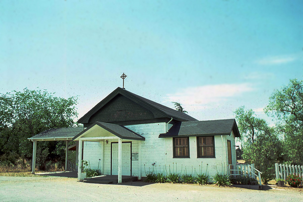
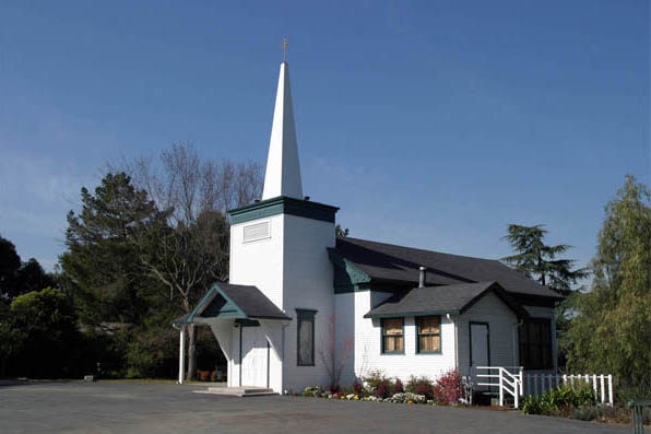
753 Dating back to the 1930's as the local schoolhouse, this building was later repurposed to a church as is apparent from the Cross on the roof.
Just for comparison, here is a picture taken in 2004 where the addition of a front porch and steeple are apparent.
Just for comparison...
754
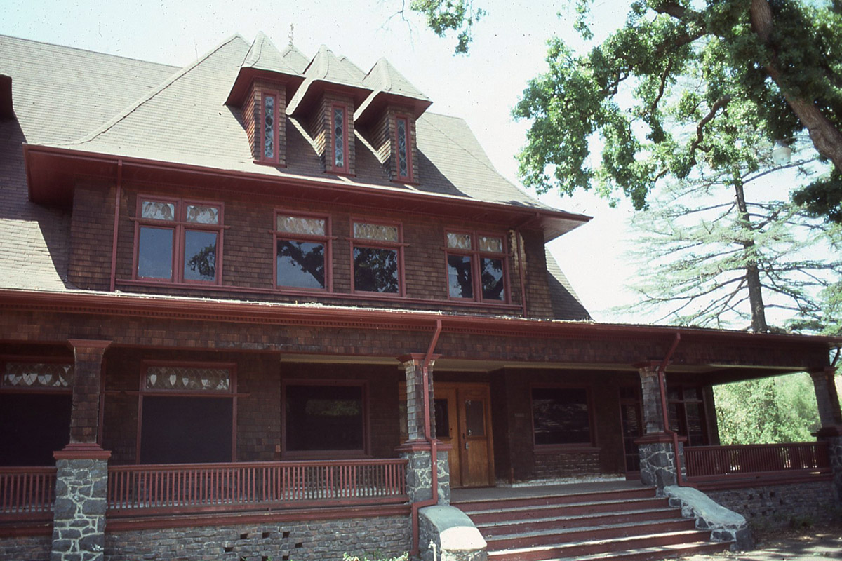
766 The Griffin House on the Campus of Foothill College. As of 2006 the preservation or demolition of this historic structure was the subject of a lawsuit, for further info see here.
767 The Town's new Corporation Yard built near to the Town Baseball Fields.
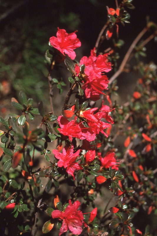
768 Hibiscus in Los Altos Hills?
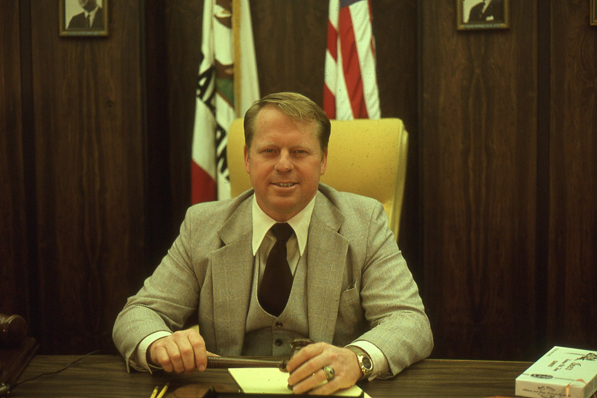
769 Councilman Tom McReynolds became Mayor in 1979. The Town Newsletter for June of that year tells us:
Tom was born in Sacramento, raised in San Francisco, but spent most of his youthful summers visiting friends and playing in the poison oak of Los Altos Hills. He is a 1959 graduate of the U.S. Naval Academy. College was followed by serving for four years in the U.S. Navy. Presently, Tom is an Investment Banker ...Tom also served as a Commissioner for the Los Altos Hills County Fire District....Except for one year of non-involvement, Tom has been serving the Town since 1968. He has served on the Pathway Committee, the Planning Commission and as a Councilmember.
Note the design on the box of See's Candy (right) does not appear to have changed since that time. The watch on Tom's wrist was state-of-the-art then. Sporting an LCD display which showed the time permanently (as opposed to requiring a button to be pressed as was the case with the LED displays that preceded it) this watch was digital and maintained accuracy to a degree that exceeded even the most expensive chronometers of the time. Together with calculators, these were among the earliest examples of silicon integrated circuits to become in common use by consumer gadgets. The IBM "Personal Computer" would be introduced two years later.
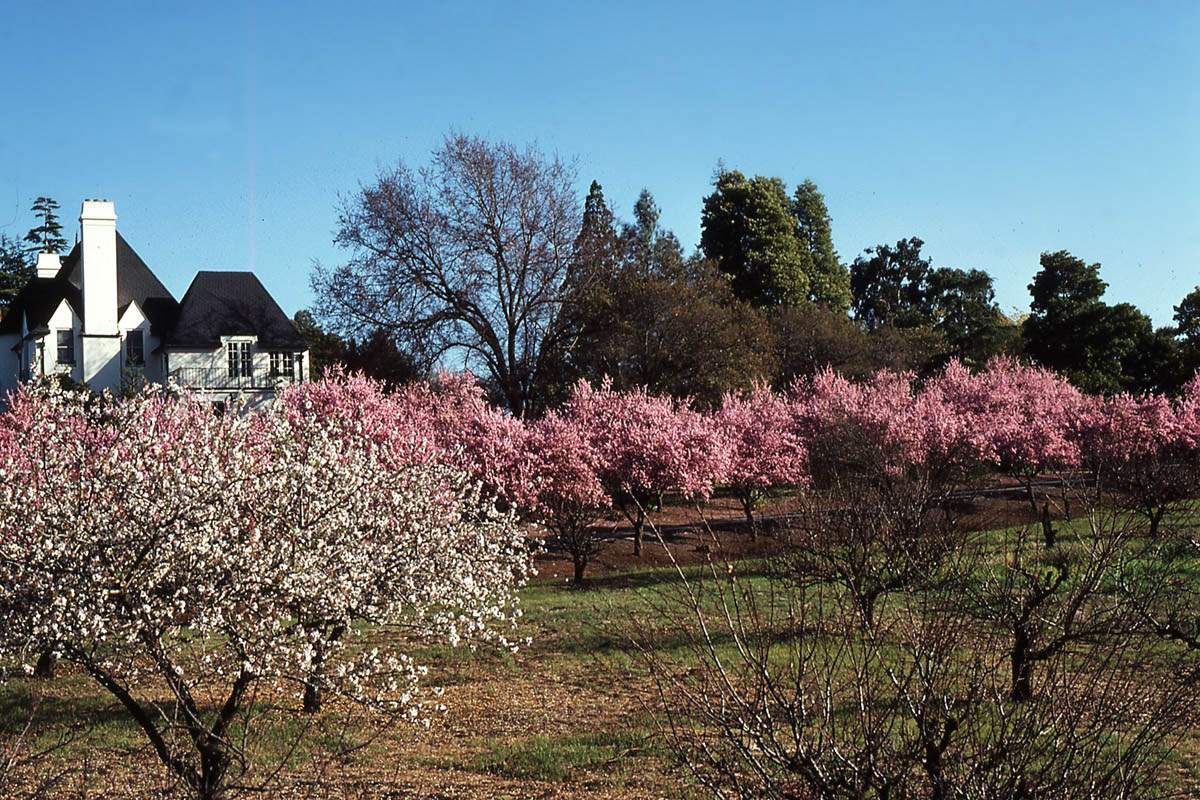
770 Orchard in bloom at the Winbigler House. This building was subsequently demolished despite having been given a degree of Historical Protection. Further details may be seen here.
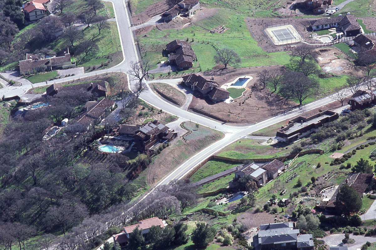
743 The Road leading from the bottom-left corner up towards the right-hand edge of this image is Paseo Del Roble Drive. The road branching off towards the left is Roble Alto Drive. To the right of this picture is the border between the Town of Los Altos Hills and the "Palo Alto Hills" area - the Golf Course and the Pearson-Arastradero Preserve are immediately to the West (right) of this picture.
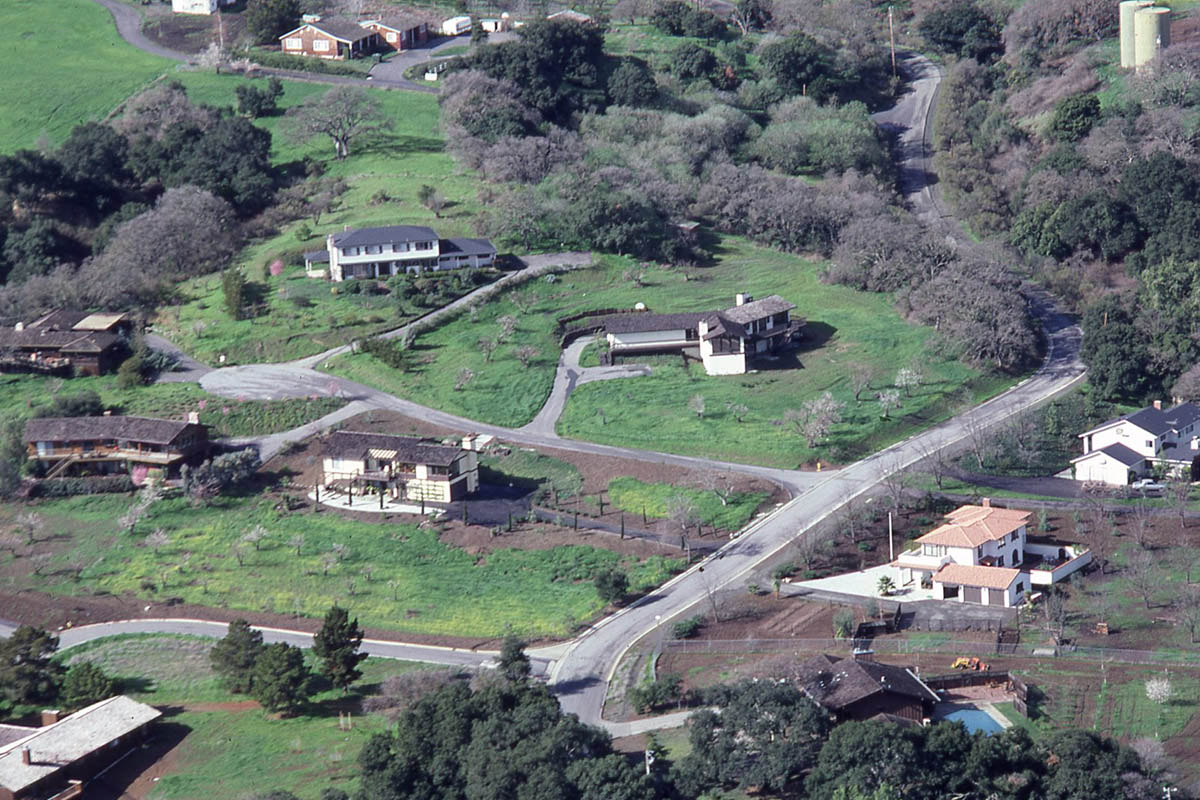
748 The road leading from lower-middle of the picture and going up towards the right is Natoma (heading west). The first road branching to the left near the bottom with a dog leg is La Vida Real. The next road branching to the left (Cul-de-sac with rounded end) is Lucero Lane.
The two water tanks just visible in the upper-right corner of the image have since been removed - they had been part of a private water system constructed to support the operation of what was then known as Sunset Farm which was located between this spot and Black Mountain Road.
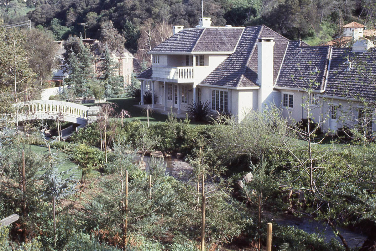
749 Just beyond Foothill College, El Monte splits into a "Y" junction forming Moody Road and Elena. Close to that spot, this house was built on the banks of Adobe Creek in the general area known as the Pink Horse Ranch.
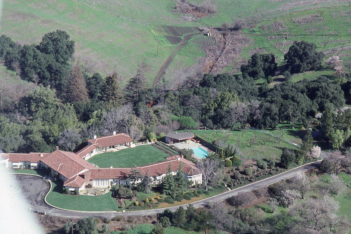
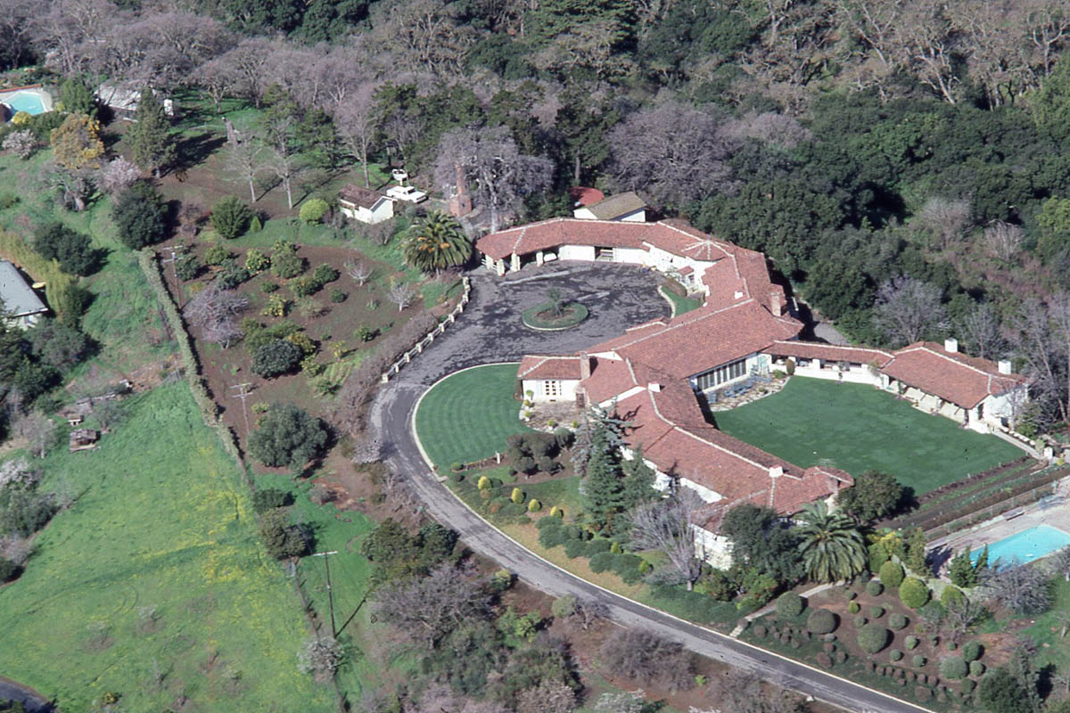
772 This is the old Dawson Estate off of Magdalena Road, accessed today via Dawson Drive.
773 The Dawson Estate again.
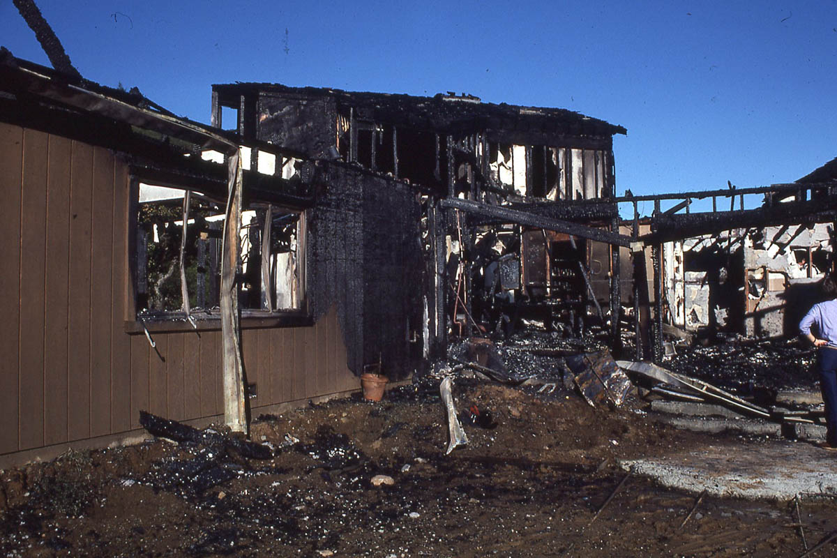
741 Aftermath of a residential fire at an unknown address.
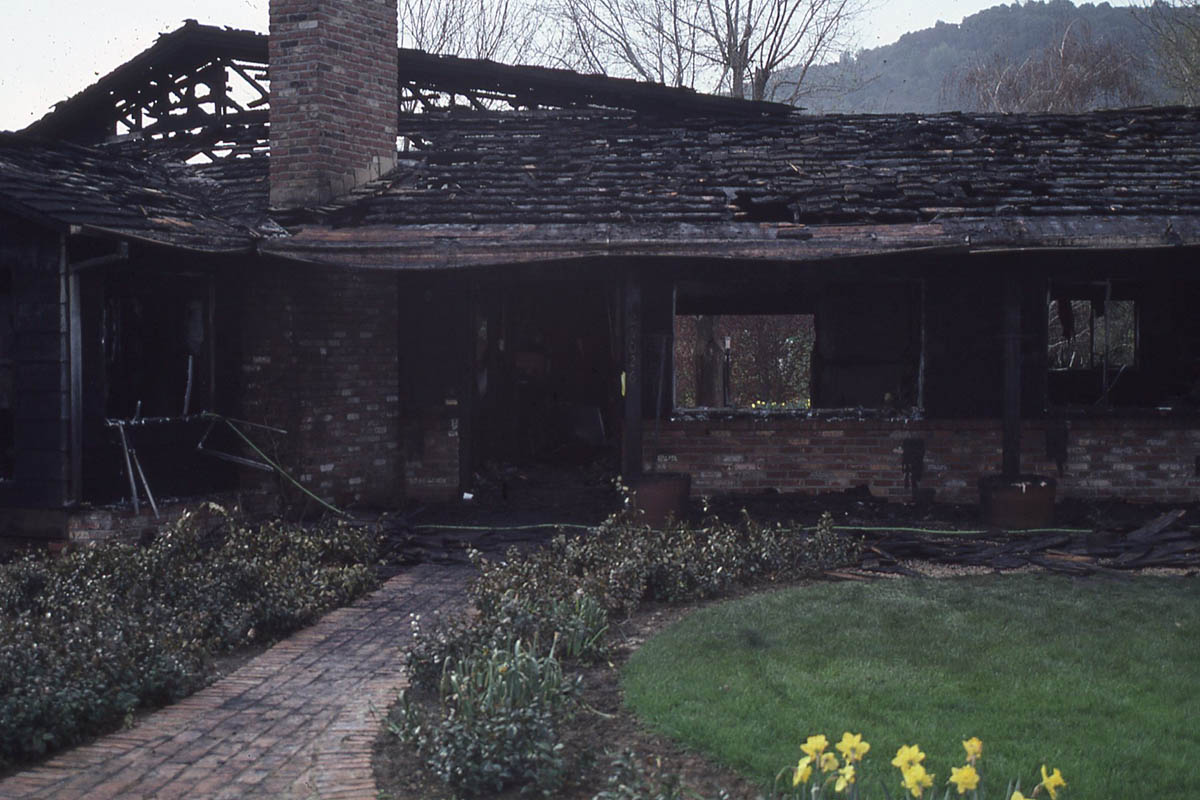
742 Aftermath of the same residential fire as shown in image #741 above.
