|
Los Altos Hills Aerial Photo-Imagery
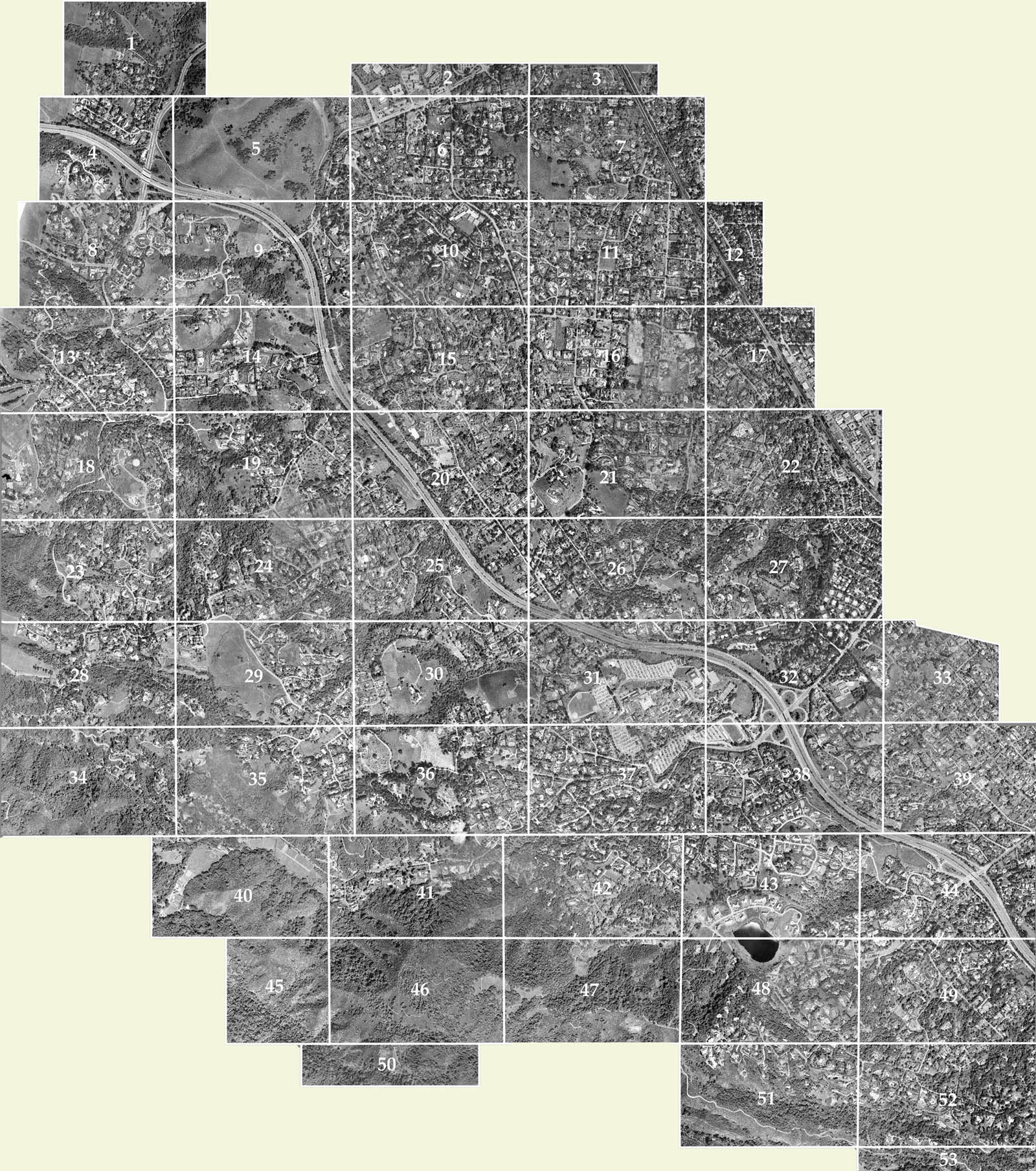
Below is an aerial image of the Town of Los Altos Hills. It is
divided into numbered rectangular sectors which correspond to individual high-resolution
images of those sectors, any one of which that you can select to view on its own page.
The exact date that this aerial image was captured is unknown - however, examination for the presence (or absence) of some known landmarks allows us to date it to around the middle of 2001,
i.e. about 2 or 3 years before "Google Maps" appeared on the scene and completely revolutionized the availability and presentation method of this kind of information.
So while a much more current version of this information is easily available via The Web, this version is interesting in that it shows the town at around the time of "The Millennium".
The version of the map that is shown further down on this page is too small to see much detail.
More detail by clicking on a numered square in a (larger) map
You can see a bigger version of the overall map shown below, which will provide more detail at the cost of having to scroll the image left-or-right as well as up-or-down using the scroll bars in the window provided by your
web-browser. To display that larger map, click on the icon to the right - at which point you will see a larger version of this map (also with 53 numbered rectangular regions) but you will then be
able to click in any one of these rectangles to bring up a hi-resolution version of that rectangle.
|
 |
More detail by clicking on the number of the rectangle you want to see
Alternatively, if you already know the number of the rectangle you wish to view in high resolution. you may click on the appropriately numbered square to the right
Hint: Make sure you see the full resolution
Depending on what platform you are using to view these images (Windows PC, or MacIntosh Desktop, or Tablet or... when you actualy load the detailed image of one of the 53 sectors to your screen, it may be made to "fit"
your screen-size (i.e. "shrunk" to something smaller than its actual full-size) If this is the case, you may notice that your usual arrow-shaped cursor has been replaced with a little plus sign. In this case, move
the plus sign to the spot where you would like to zoom in to the full-size rendition of the image and click your mouse at that spot.
A practice excercise
If you want to experiment with navigating into the full resolution version of the map,
a red circle has been drawn in the parking lot of Town Hall (Remember - this would be the "old" Town Hall before the new one was built) For practice, see if you can navigate your way to Town Hall on
the high-resolution version of the map and see
the red ring marking the spot where the roundabout with the flagpole is located.

|
|
| 

